Scenic Fall Drives From Branson: 4 Routes for Couples
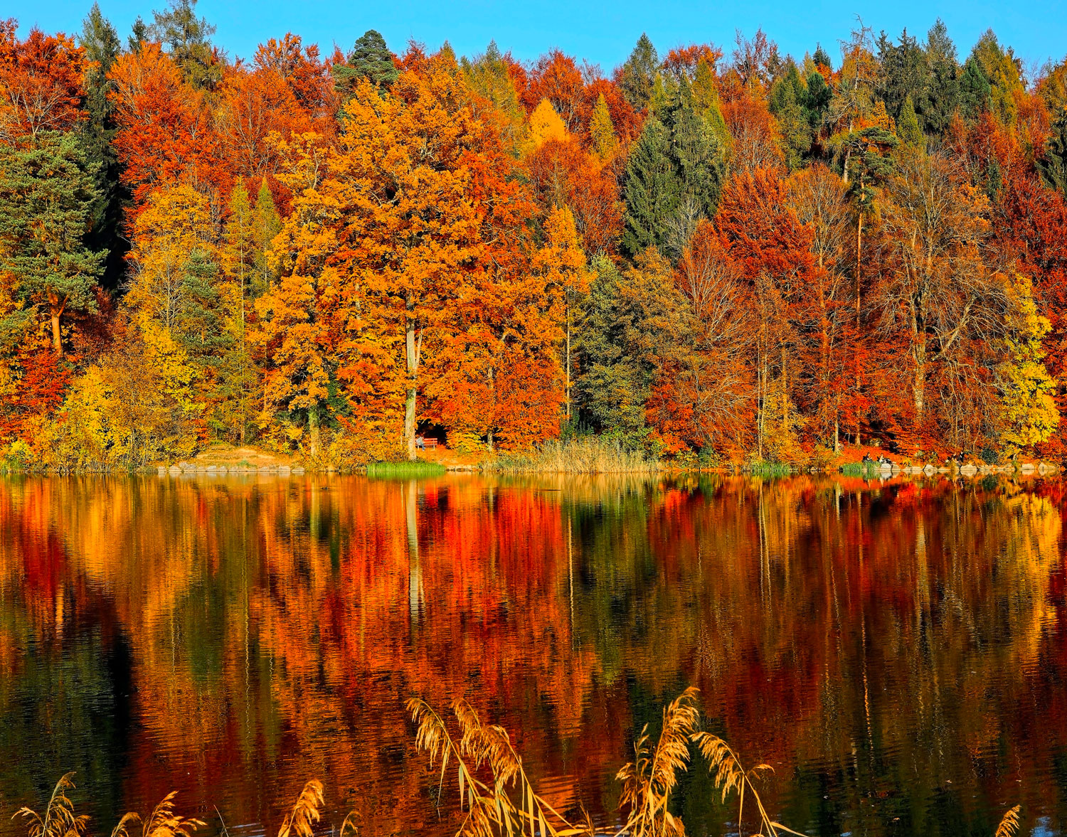
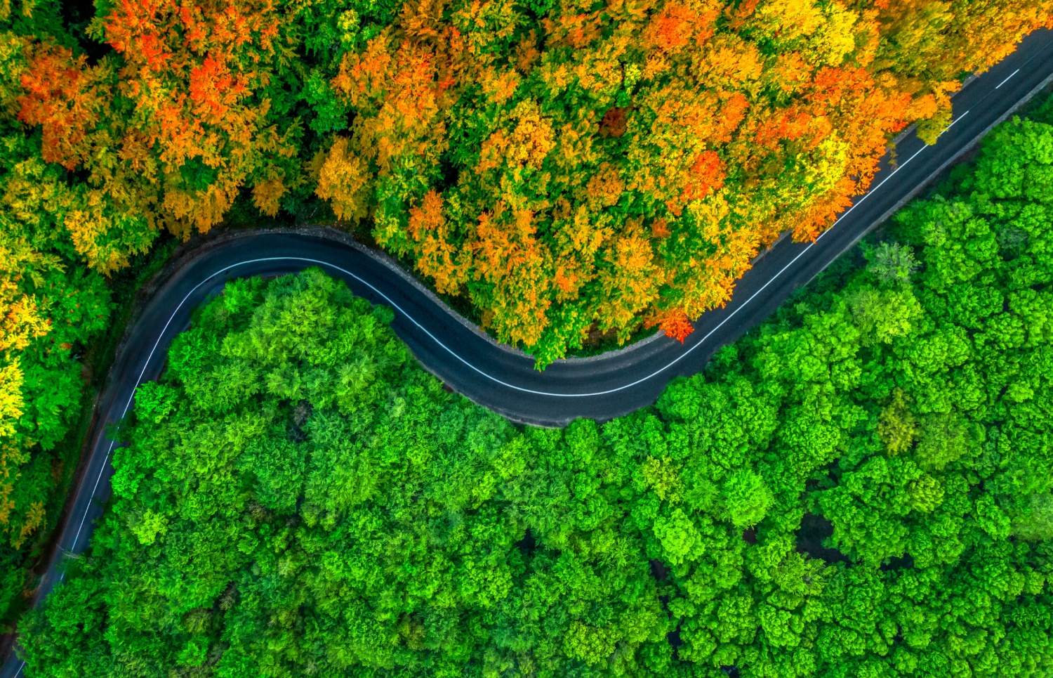
The best scenic fall drives from Branson are the Glade Top Trail, a 23-mile gravel ridgetop byway in Mark Twain National Forest; Highway 165 across Table Rock Dam; Highway 86 along the south shore of Table Rock Lake; and a longer loop that circles the lake on Highways 76, 13, 86 and 65. Ozarks color typically peaks from mid to late October, which makes the next few weekends the right window.
At a glance
- Glade Top Trail: 23 miles of all-weather gravel south of Ava. Plan on a full day from Branson.
- Highway 165 and Table Rock Dam: the closest drive to town. An hour or two with stops.
- Highway 86: lake and forest views between Ridgedale and Blue Eye. Allow a relaxed afternoon.
- The Table Rock Lake loop: Highways 76, 13, 86 and 65. A half day with a lunch stop.
- Peak color: typically mid to late October. The Missouri Department of Conservation posts fall color updates each season.
1. Glade Top Trail National Scenic Byway
If you drive only one road this fall, make it this one. The Glade Top Trail follows narrow ridgetops about 500 feet above the surrounding hills, on Forest Roads 147, 149 and 150. According to the U.S. Forest Service, the road is little changed from the one the Civilian Conservation Corps built in the late 1930s.
Seven overlook pull-outs open onto long views: roughly 20 miles northwest to the Springfield Plateau and 40 miles south to the Boston Mountains of Arkansas. Worthwhile stops include Hayden Park, Arkansas View, the Caney Day Use Area, McClurg Glade and Wolf Junction. The open glades, with their cedars and native grasses, look different from any other drive near Branson.
Getting there
From Ava, take Highway 5 south about 3 miles to Highway A, head west about 4 miles to Smallett, then turn south on A409 to reach Hayden Park. The byway ends at either Longrun or Highway 125. It is a long way from Branson on country highways, so leave in the morning and treat it as a day trip.
Before you go
- The Forest Service notes there is no potable water at any stop. Bring water, a packed lunch and a full tank.
- Picnic tables are available at select overlooks.
- Download an offline map. Don't count on cell service on remote ridges.
- Take the gravel slowly and give oncoming cars room on the narrow stretches.
A note for returning visitors: the Flaming Fall Revue, the festival held along the byway since 1961, was discontinued in 2023, according to Ozarks Alive. The byway itself stays open year-round, and the October color is just as good without the crowds.
2. Highway 165 and Table Rock Dam
For a short drive that still feels like an outing, Highway 165 loops around the west side of Branson. It crosses Table Rock Dam over the White River, passes Table Rock State Park and continues toward College of the Ozarks at Point Lookout.
- Dewey Short Visitor Center: run by the U.S. Army Corps of Engineers, with viewing decks over the lake and dam and a paved trail of a little over 2 miles on the grounds. Hours are seasonal, so check the Little Rock District before you go.
- Table Rock State Park: lakeside picnic spots and a marina. See Missouri State Parks for current hours.
- College of the Ozarks: a quiet campus drive with Patriots Park near the entrance.
Late afternoon is the time to do this one. The low light on the water below the dam is the reason to go.
3. Highway 86 along the south shore
Highway 86 leaves US 65 just north of Ridgedale and runs west toward Blue Eye, with Table Rock Lake to the north and the Arkansas line to the south. It winds through Mark Twain National Forest and crosses arms of the lake, with long views from the higher stretches.
- Top of the Rock: about 20 minutes from Grotto. Big Cedar Lodge lists the Lost Canyon Cave and Nature Trail golf cart tour, the Ancient Ozarks Natural History Museum and several restaurants, including Osage. The site lists a $10 per vehicle entry fee, card only.
- Dogwood Canyon Nature Park: about 40 minutes out near Lampe, with trails and creekside scenery. Check Dogwood Canyon for tours and hours.
4. The full Table Rock Lake loop
With a free day and no agenda, circle the lake. Head west on Highway 76 past the Strip to Branson West, then south on Highway 13 through Kimberling City and across the lake. Continue to Blue Eye, turn east on Highway 86 back toward Ridgedale, then take US 65 north to Branson. It is mostly two-lane highway, with small-town lunch stops and plenty of lake views.
Drive it clockwise and finish on Highway 86 in late afternoon, when the light over the water is warmest.
Tips for a fall drive in the Ozarks
- Weekdays mean lighter traffic on every route, especially Highway 76.
- Early mornings often bring fog in the hollows. Wait until mid-morning for clearer overlooks.
- Pack layers. Ridgetops run cooler and breezier than town.
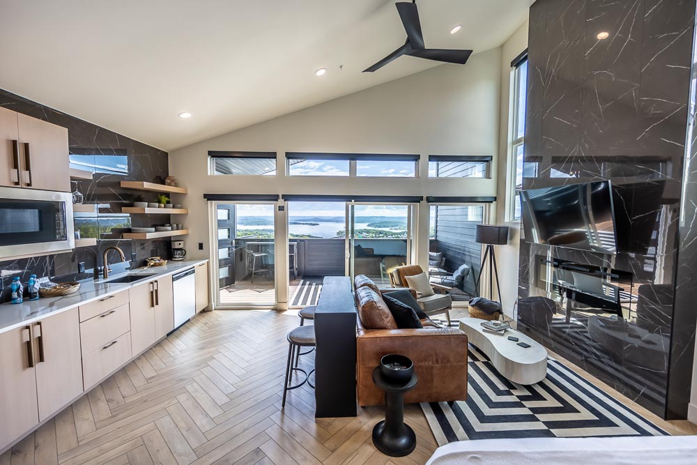
- Use your suite's kitchenette to pack a simple picnic the night before.
For more on when and where the leaves turn, see our guide to fall foliage in Branson.
Coming home to the lake
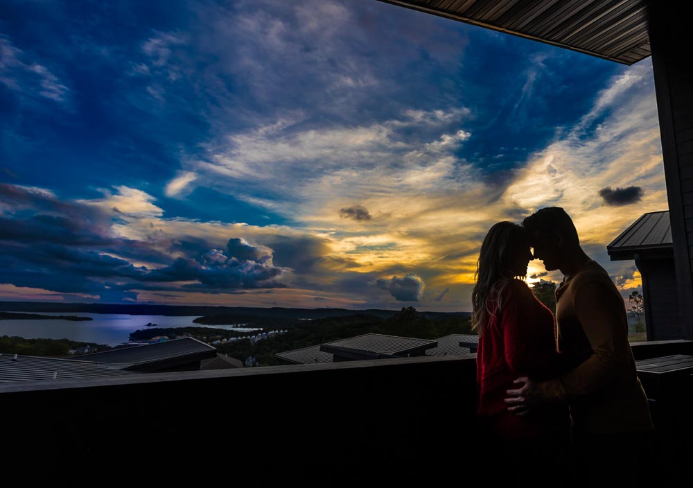
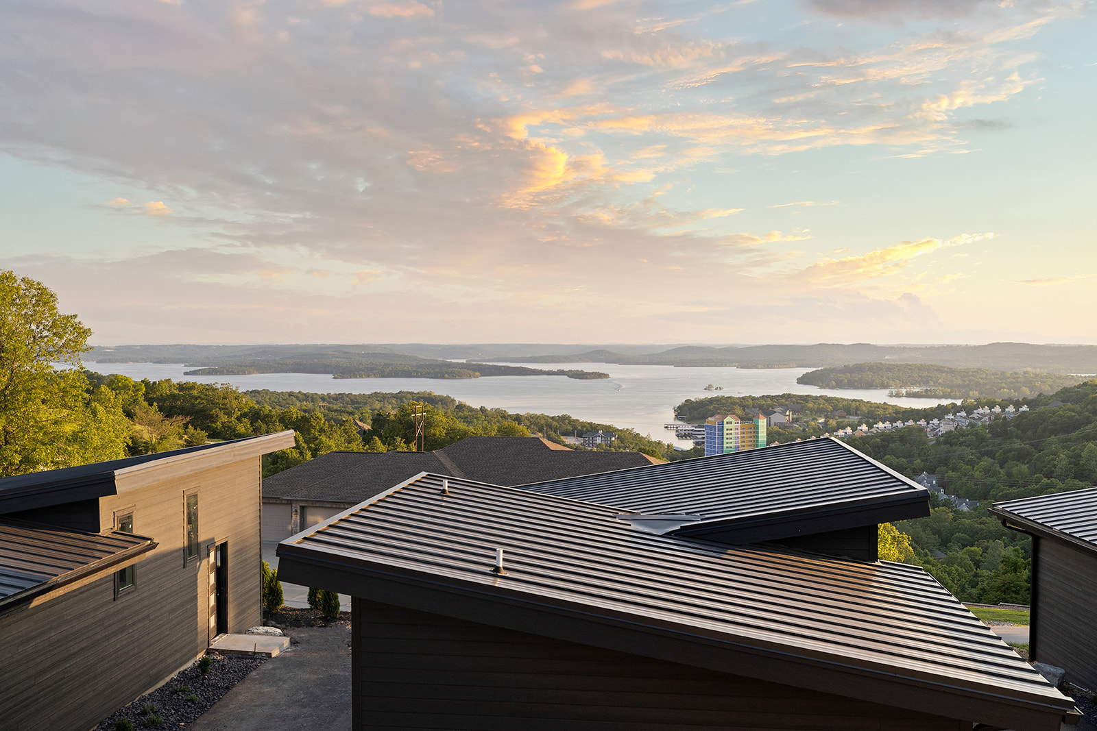
However far you drive, it is good to end the day somewhere quiet. Our suites overlook Table Rock Lake, and most have a private hot tub on the veranda. The treehouse-style Nest Suite sits about 20 feet up, among the same trees you spent the day admiring. Grotto is adults-only (25+), built for couples, and within 3 miles of the Branson Strip.