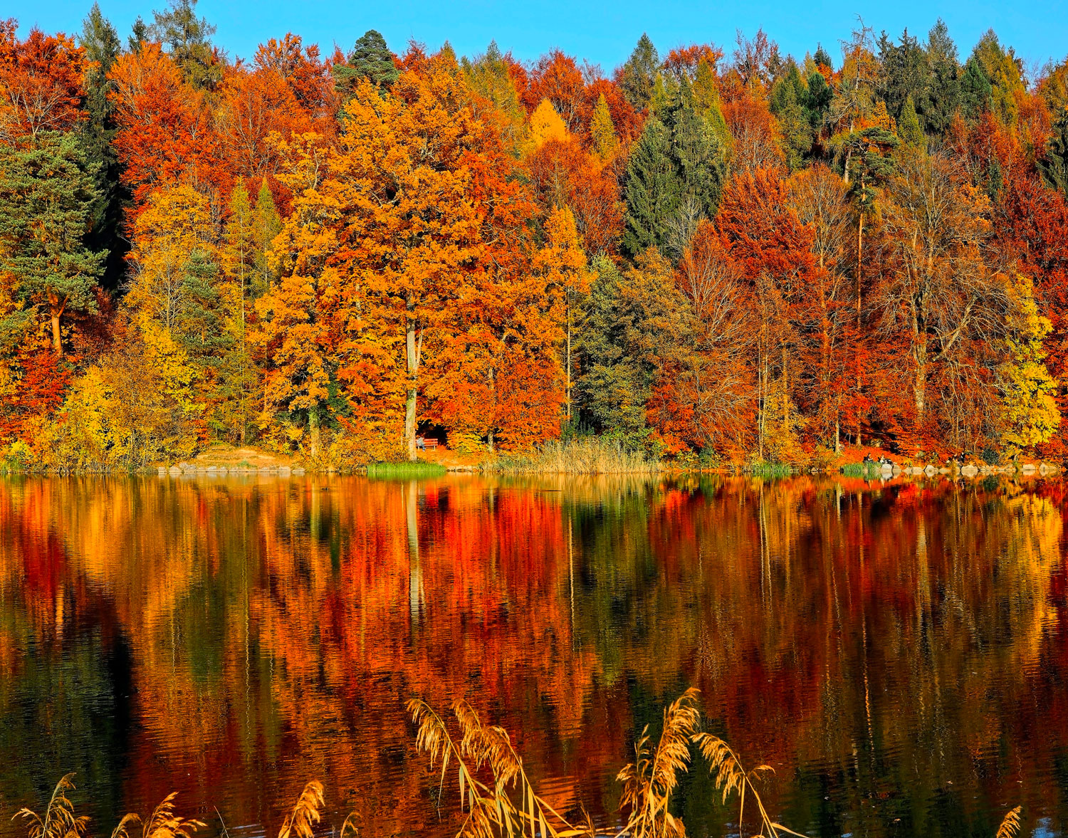
Best Fall Hikes Near Branson for Couples
The best fall hikes near Branson for couples range from an easy, accessible 2.2-mile lakeside path to a strenuous 315-step descent to a waterfall. For a relaxed walk, choose the Table Rock Lakeshore Trail. For views and history, choose the 3.4-mile Homesteaders Trail at Ruth and Paul Henning Conservation Area. For a real workout, choose the Bluff Trail at Lakeside Forest Wilderness Area.
At a glance
- Easiest: Table Rock Lakeshore Trail, 2.2 miles end to end, fully accessible
- Best views: Homesteaders Trail, 3.4 miles, Ruth and Paul Henning Conservation Area
- Most challenging close to town: Bluff Trail, Lakeside Forest Wilderness Area, 315 stone steps
- Best day trip: Long Creek Falls in the Hercules-Glades Wilderness
- Peak season: fall foliage typically peaks in mid-to-late October in the Ozarks
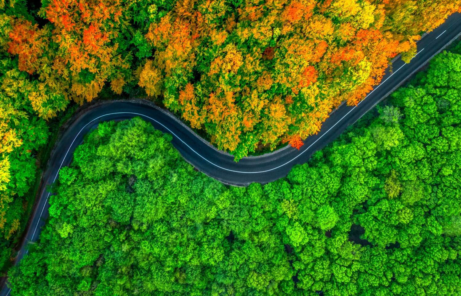
Looking for scenic drives and color rather than trail details? See our fall foliage guide to Branson. This post focuses on the trails themselves.
1. Table Rock Lakeshore Trail
Distance: 2.2 miles end to end. Difficulty: easy.
This U.S. Army Corps of Engineers trail follows the shoreline between the Dewey Short Visitor Center and Table Rock State Park, with a trailhead at the Showboat along the way. According to the official trail map, the entire trail is accessible to people with disabilities, and it is open daily from dawn to dusk.
It is shared with cyclists, so it isn't the quietest walk on a weekend. Go early on a weekday and it becomes a peaceful hour by the water. Walk out and back, or turn around whenever you like.
2. Table Rock State Park trails
Distance: 0.7 to 3.5 miles per loop. Difficulty: easy to moderate.
Table Rock State Park has two good options beyond the lakeshore path. The Chinquapin Trail is a 1.5-mile, hiking-only trail marked with green blazes, which starts across from the picnic area off State Park Drive.
The White River Valley Trail System is a set of connected, color-coded loops: Orange (0.7 mile), Green (1.35 miles), Red (2.9 miles) and Blue (3.5 miles). Mountain bikers use these trails too, so stay alert on the downhill stretches. The loop design makes it easy to choose a short walk or combine loops for a longer outing.
3. Homesteaders Trail, Ruth and Paul Henning Conservation Area
Distance: 3.4 miles. Difficulty: moderate, with hills.
This Missouri Department of Conservation area on the west side of Branson is one of the most rewarding hikes near town. The Homesteaders Trail has 14 interpretive stops and passes places made famous in Harold Bell Wright's The Shepherd of the Hills, including Dewey Bald, Boulder Bald and Sammy Lane's Lookout. The area has 5.6 miles of trails in total, plus a scenic overlook and a lookout tower.
Timing tip: the scenic overlook gate closes earlier in fall. From October 15, MDC lists gate hours of 8:00 AM to 5:30 PM. Horses and bicycles aren't allowed on these trails, which keeps them quiet.
4. Bluff Trail, Lakeside Forest Wilderness Area
Distance: about an hour of hiking. Difficulty: strenuous.
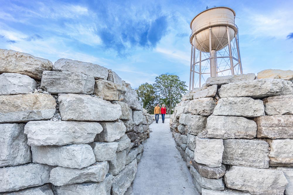
Within Branson city limits, Lakeside Forest Wilderness Area covers 140 acres with 5.3 miles of trails. The Bluff Trail is the one to know. The City of Branson describes it as a strenuous one-hour hike with 315 stone steps down to a waterfall and a cave, with a difficult climb back up.
The park is at 412 Owen Lane and is open dawn to dusk. Wear shoes with good grip, since the steps can be slick with fallen leaves, and save some energy for the return.
5. Dogwood Canyon Nature Park
Distance: up to 6.5 paved miles plus 2.5 miles of nature trail. Difficulty: easy.
About 40 minutes from Grotto, Dogwood Canyon is a nature park with clear streams and waterfalls. It offers 6.5 miles of paved paths, 2.5 miles of unpaved nature trails and the half-mile Hickory Ridge Trail. Walking is included with park admission. The bison, elk and longhorn area is only reachable on the park's wildlife tram tour, so book that separately if you want to see them.
6. Long Creek Falls, Hercules-Glades Wilderness
Distance: 2.6 miles to the creek, one way. Difficulty: moderate.
For couples who want a true wilderness hike, the Hercules-Glades Wilderness in Mark Twain National Forest has 32 miles of trails. The U.S. Forest Service notes that from the Blair Ridge Trailhead, you follow a gently descending ridge for 2.6 miles, then turn left at the creek to reach Long Creek Falls. Remember that the gentle descent becomes a climb on the way back.
This is a remote area with no facilities. Bring water, a map and plenty of daylight, and allow extra driving time.
An easier alternative: Lost Canyon Cave and Nature Trail
For a scenic outing without the effort, Lost Canyon Cave and Nature Trail at Top of the Rock, about 20 minutes away, is a 2.5-mile loop you drive in an electric cart. It passes nine waterfalls and a drive-through cave, with a stop at the Bat Bar along the way. Tickets are required, and weekends need a reserved time slot.
Tips for hiking together in fall
- Start early. Fall days are shorter, and most parks close at dusk.
- Dress in layers. Mornings are cool, and afternoons can still be warm.
- Watch your footing. Fallen leaves hide rocks and roots.
- Pack a simple picnic, since trailheads rarely have food nearby.
After the trail
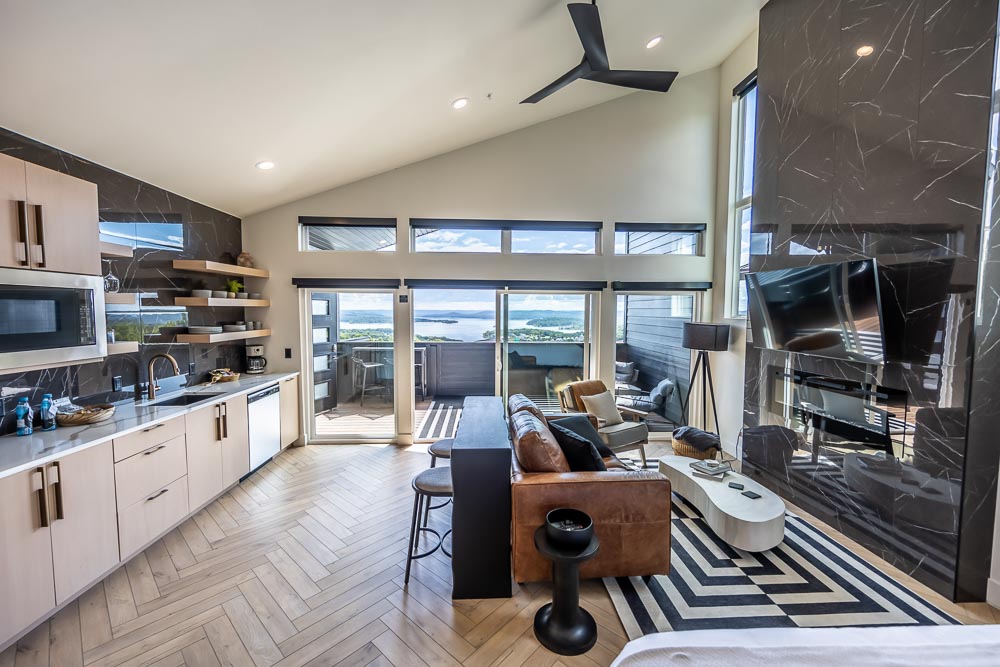
The best part of a long hike may be the moment you get back. Every suite at Grotto has a soaking tub and a lake view, and most have a private hot tub on the veranda. A Deckhouse Suite offers easy ground-level access for tired legs, and you can explore all of our suites when you're ready to plan your fall stay.